Salina
Salina – (Area: 26.8 sq km) is the ancient Didyme, meaning “twin”, a name inspired by the shape of the island: two high reliefs separated by a saddle.
The current name comes from a small coastal lake in Lingua, once used as a salt pan, or “salina”.
It is the second largest island after Lipari, and also the most central.
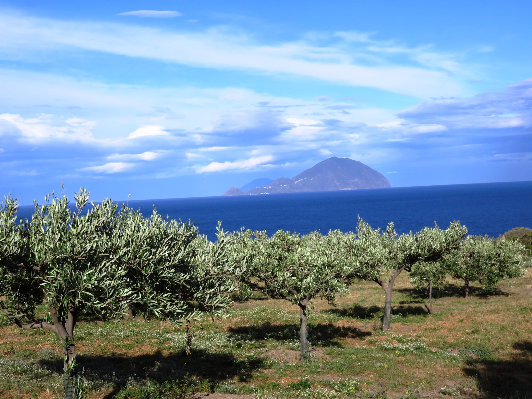
It is the greenest island, famous for the Nature Reserve that covers more than half of the territory. It can be reached and explored through suggestive nature itineraries, ideal for anyone who wants to enjoy enchanting views over all the nearby islands.
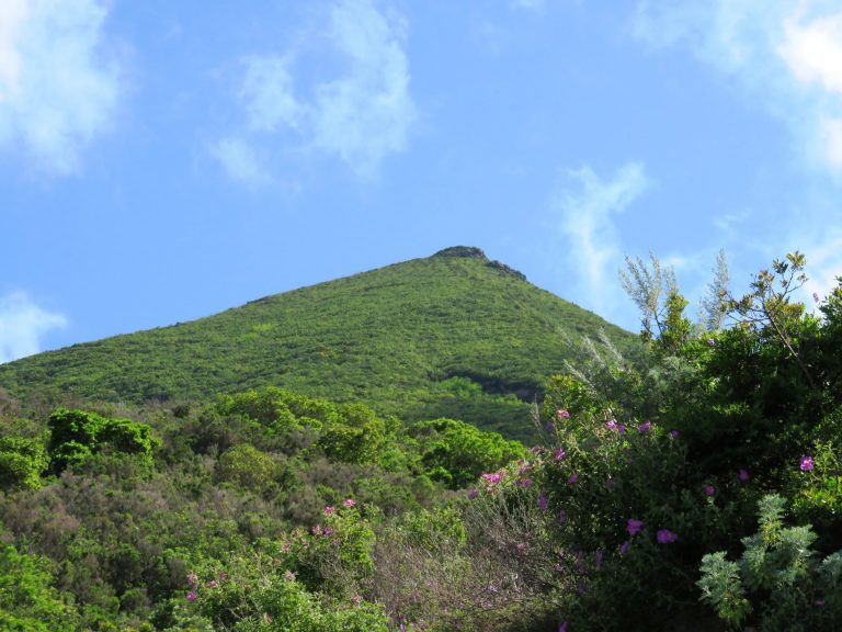
The highest of Salina’s two mountains, Monte Fossa delle Felci at 962 m, has a beautiful fern wood inside its crater, while Monte Porri, 860 m, is home to Eleonora’s falcon. The walk takes about 2 hours and the recommended route starts from the Sanctuary of Madonna del Terzito in Valdichiesa.
Clean and “certified” sea: since 2007, and for seven consecutive years, Santa Marina Salina has been awarded the 5 sails of Legambiente’s Blue Guide.
Salina, getting oriented:
An interesting administrative feature is that Salina is the only island in the archipelago that does not depend on Lipari. It has three autonomous municipalities: Malfa, Leni and Santa Marina.
There are two landing places: Santa Marina, which is also the island’s tourist port, and the small harbour of Rinella.
The whole island is connected by convenient roads that wind along the mountain slopes, crossing spectacular lava flows.
The best way to visit the island is certainly to rent a scooter or a car; in any case, during the summer period an efficient bus service runs until late in the evening.
As soon as you arrive in Santa Marina, you can admire the wonderful eighteenth-century church with its characteristic bell towers.
Here you will also find the largest and best-equipped tourist port in the Aeolian Islands.
Do not miss the inner street of the village, full of small shops and typical restaurants, where you can also visit the Wine Museum.
In the area of Serro dell’Acqua, a path leads to the “Saracen Caves”, carved into the tuff and hidden by dense vegetation. They were used as a refuge to escape the raids committed by the Saracens in 650 AD.
Also worth visiting is the “Portella archaeological site”, a Middle Bronze Age village (15th–13th century BC) of exceptional beauty and conservation, standing on a steep volcanic ridge that can be reached on foot by a long staircase, with panoramic views over the horizon.
The huts are oval or circular, about 3–4 metres in diameter, carved entirely into volcanic rock and lined with a dry-stone wall built with large sea stones and volcanic stones.
From Santa Marina, after about 2 km, you reach the hamlet of Lingua, with its brackish-water lake from which salt was extracted in the past and from which the island takes its name. A few steps from the lake are the Civic Museum and the Archaeological Museum of the island.



Malfa is the central municipality of the island. It is also the most populated, and the island’s largest hotels are located here.
The agricultural heart of the archipelago, Malfa lies on a hillside terrace 90 metres above sea level. Thanks to its northern exposure, it is the coolest and greenest place on the island, in a strategic central position for reaching the other areas and villages of Salina.
The Museum of Aeolian Emigration was established here.
Not to be missed: Punta Scario beach, the small fishermen’s harbour of “Scalo Galera” and the beautiful bay of Pollara, known for scenes from Massimo Troisi’s film “Il Postino”.
The square of Malfa, with its “wind rose”, is overlooked by the small Church of the Immacolata.
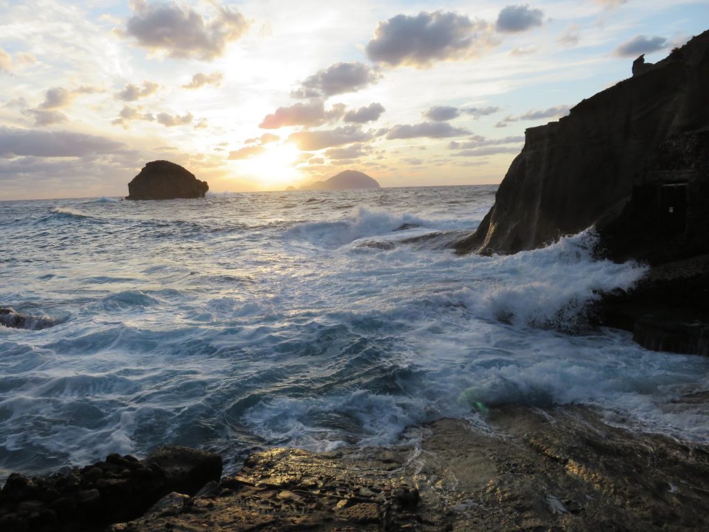
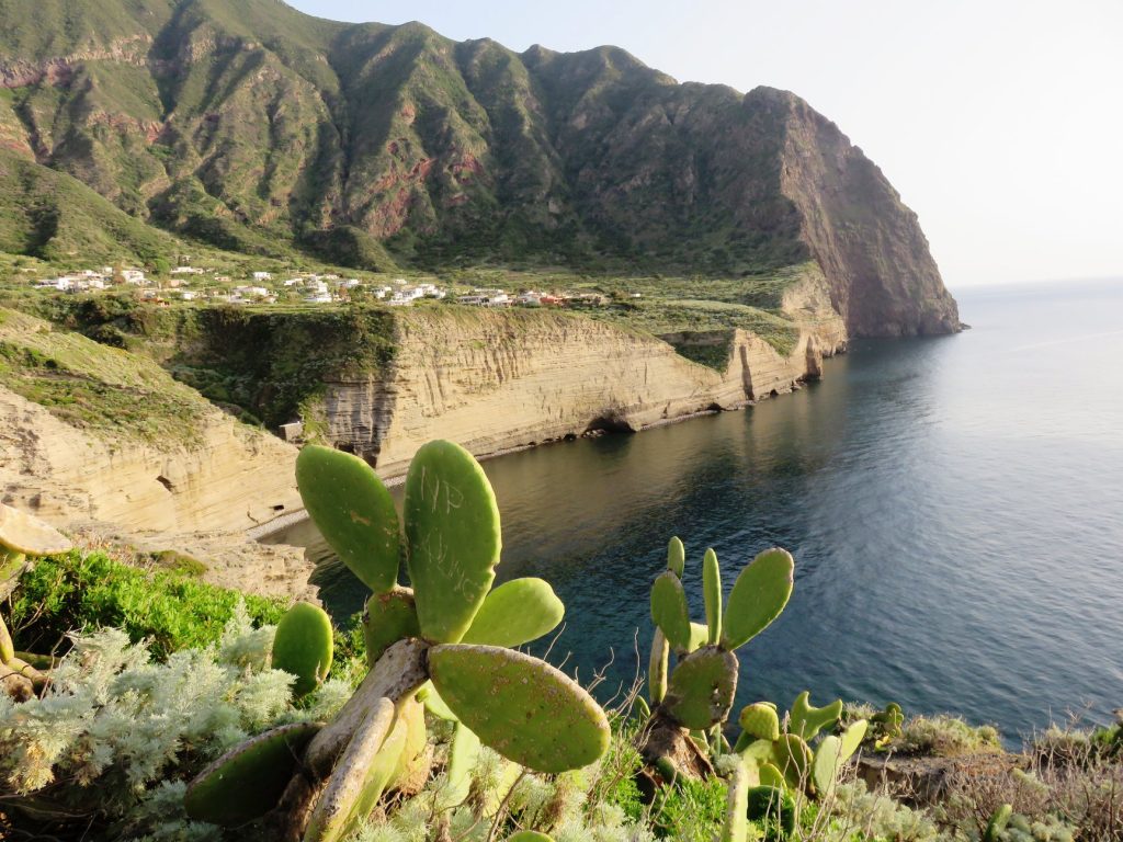
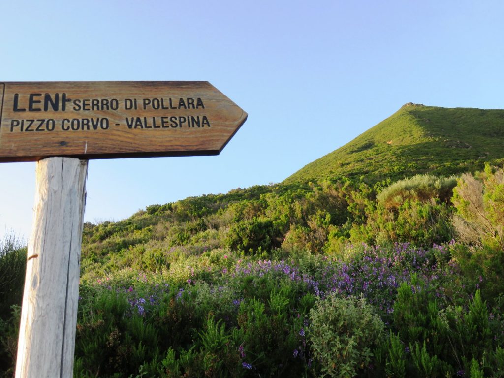
Pollara is a small village located in the volcanic hollow of half a crater. Of the other half, only a small neck emerging from the sea can be seen, the so-called “Faraglione”. Reaching Pollara from Malfa, you arrive at the “Castle”, a small fort built during the First World War. From the small square in front of the castle you can admire the part of the volcanic cone inside which the village of Pollara stands.
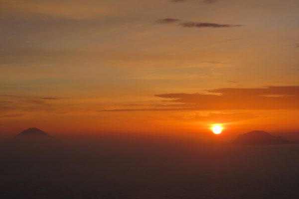
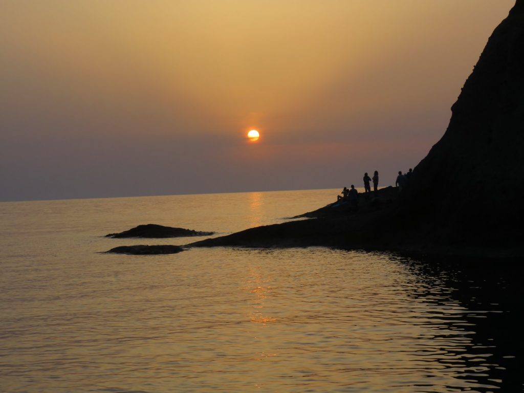
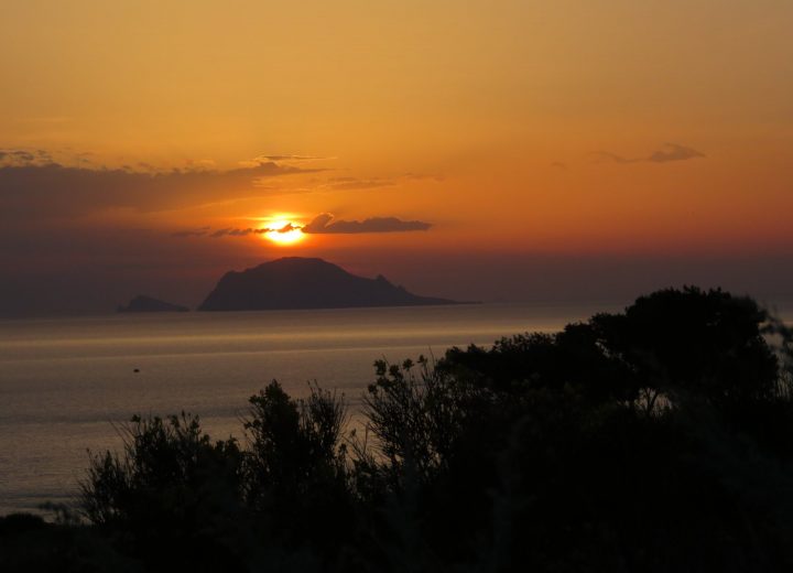
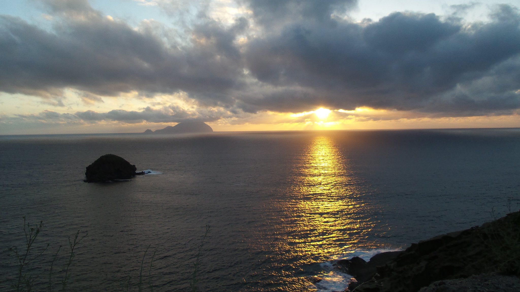
We certainly recommend a visit to the “Balate”, a volcanic rock area reached by a stepped path about 15 minutes on foot from the centre of Pollara. Here you can admire warehouses carved into the tuff and swim in the island’s crystal-clear waters. Continuing along the route, you can also see the “Perciato”, an evocative arch of volcanic rock. It is also one of the best places to admire the sunset, said to be among the most beautiful in the world, as the sun turns fiery red and sets beside the islands of Filicudi and Alicudi.
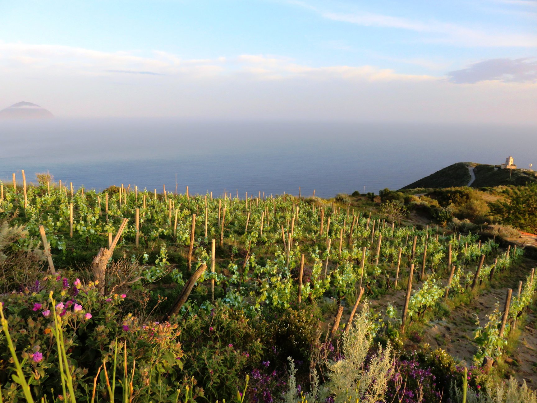
Capo Faro, located between Malfa and Santa Marina, is a small hamlet characterized by a high cliff overlooking the sea and topped by a lighthouse. Here you will find yourself surrounded by Malvasia vineyards.
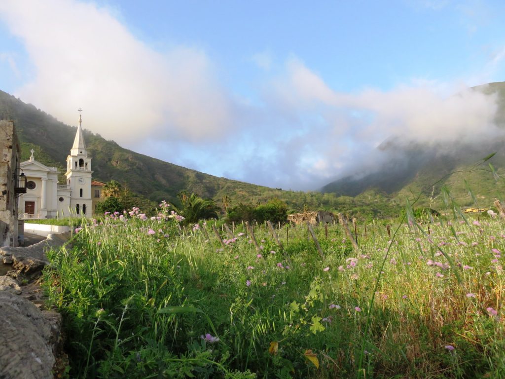
Finally, Leni, at about 200 m above sea level, is also immersed in the green Malvasia vineyards for which the island is especially known, particularly in the hamlet of Valdichiesa, located between the two saddles of the island.
In Valdichiesa stands the Sanctuary of Madonna del Terzito, a pilgrimage destination for islanders, especially on the occasion of the recurrence of 23 July. The name of the sanctuary is linked to the legend according to which the Madonna appeared three times in this place.
From here, trekking paths also start towards the top of Monte Fossa.
The route continues towards the picturesque hamlet of Rinella, a small fishing village with the island’s only black-sand beach, overlooked by caves carved into the rock that were once used to shelter boats.
Malvasia and the Caper of Salina
Malvasia is produced with grapes harvested in the first half of September. The bunches are laid out on terraces so that drying in the sun helps them reach the right sugar concentration.